Caroline Simpson Collection
Home and garden design, history and life
There’s plenty happening every day at our museums, historic houses and gardens, with entry free for all!
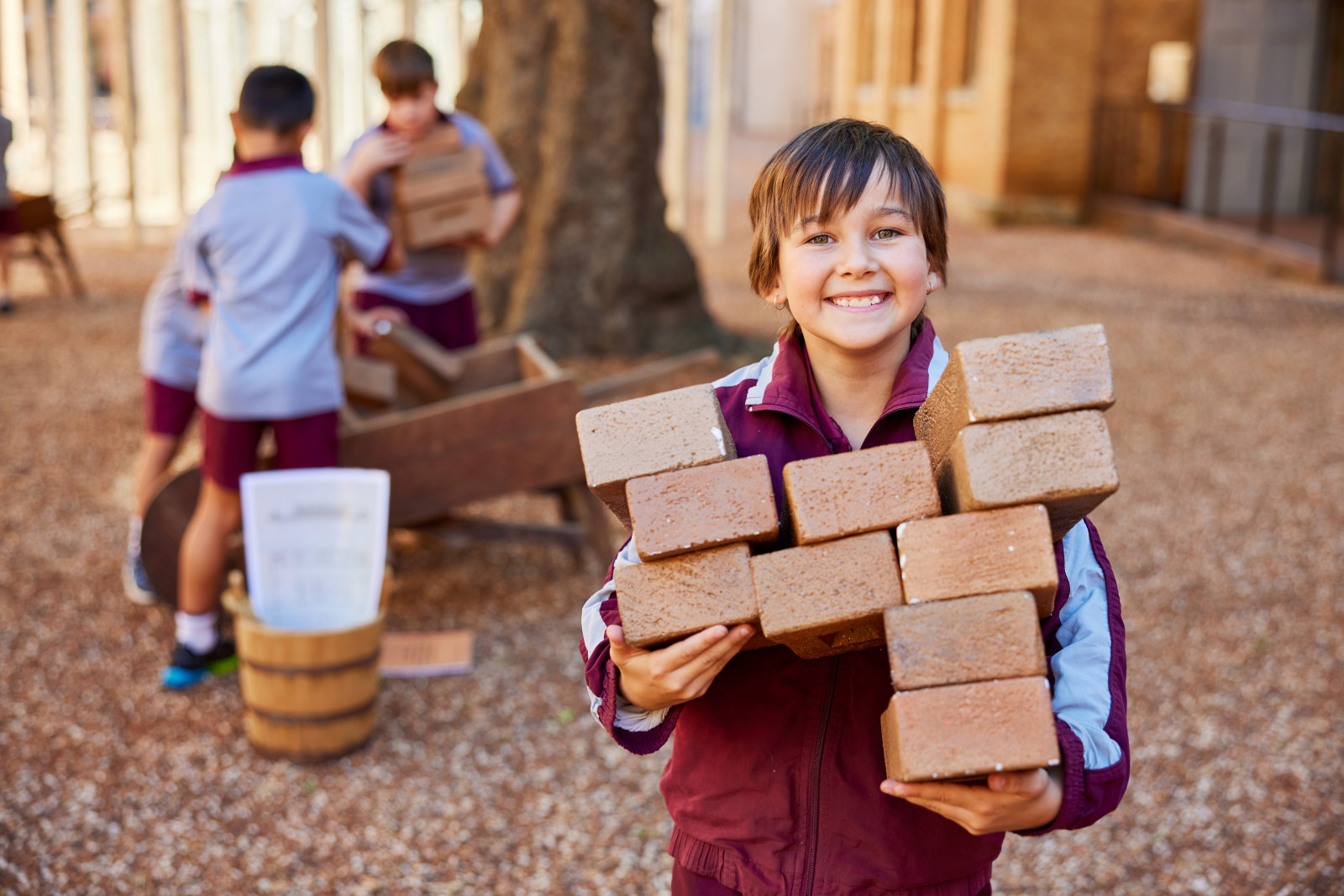
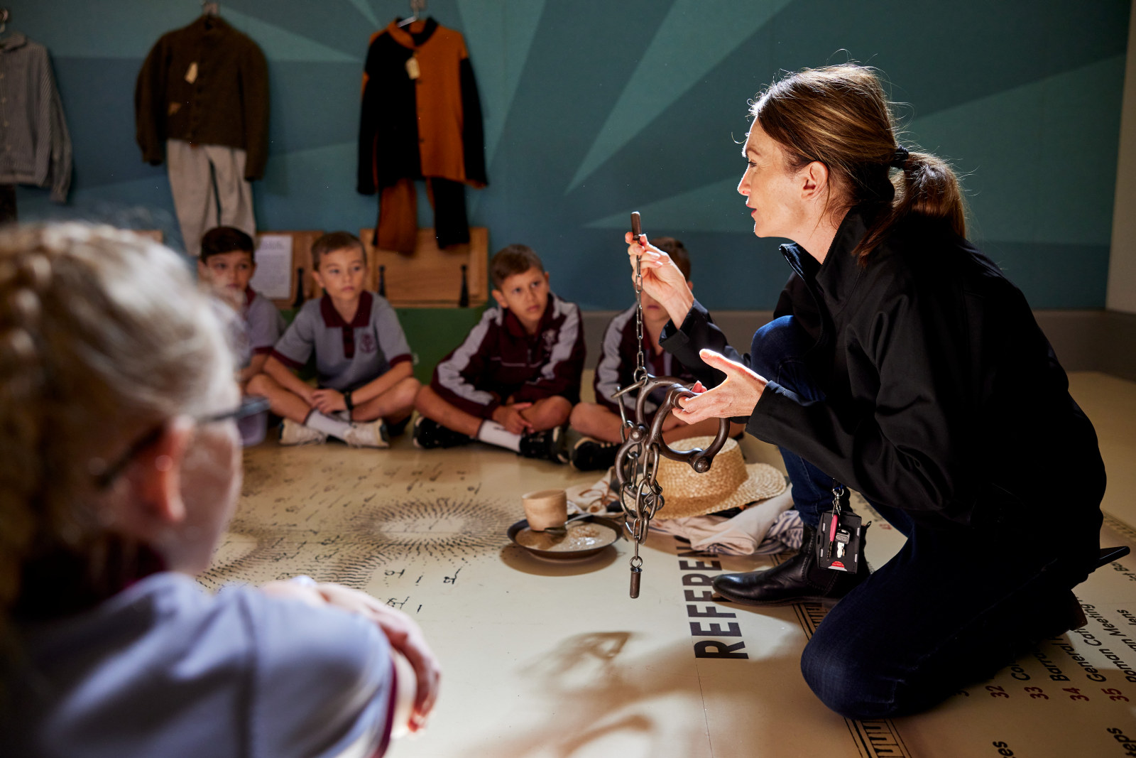
Explore our curriculum-linked programs, excursions and resources for stages 1 to 6. Inquire or book now
This financial year, our Annual Giving program gives you the opportunity to enrich the lives of children across NSW and beyond through the power of education
Find out how you can access diverse experiences through a unique calendar of events
Home and garden design, history and life
Making history every day
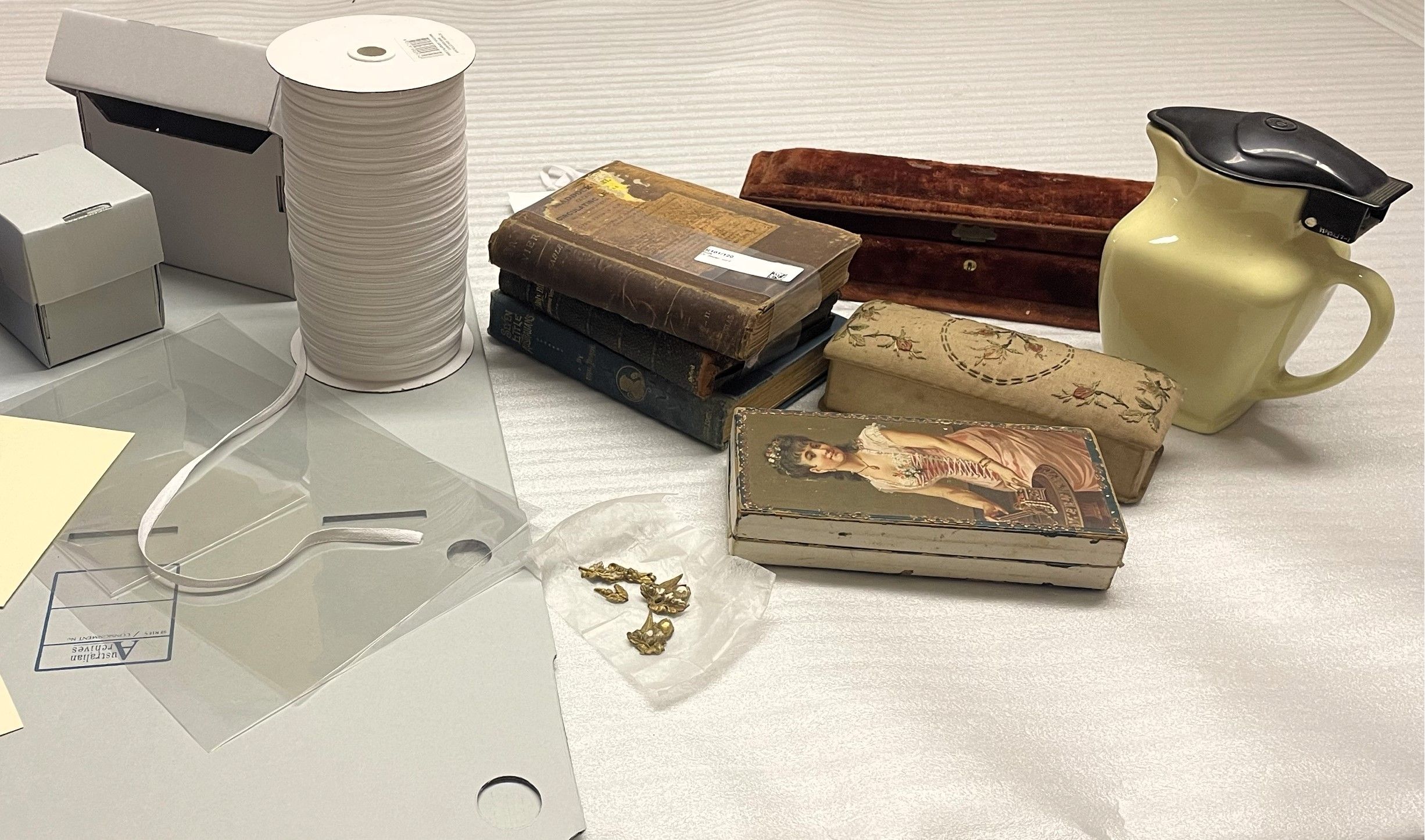
Place-based collections at our historic houses and museums
Our Collections Care and Digital teams have been hard at work making make a suite of vocational videos for volunteers and staff working in museums across the state
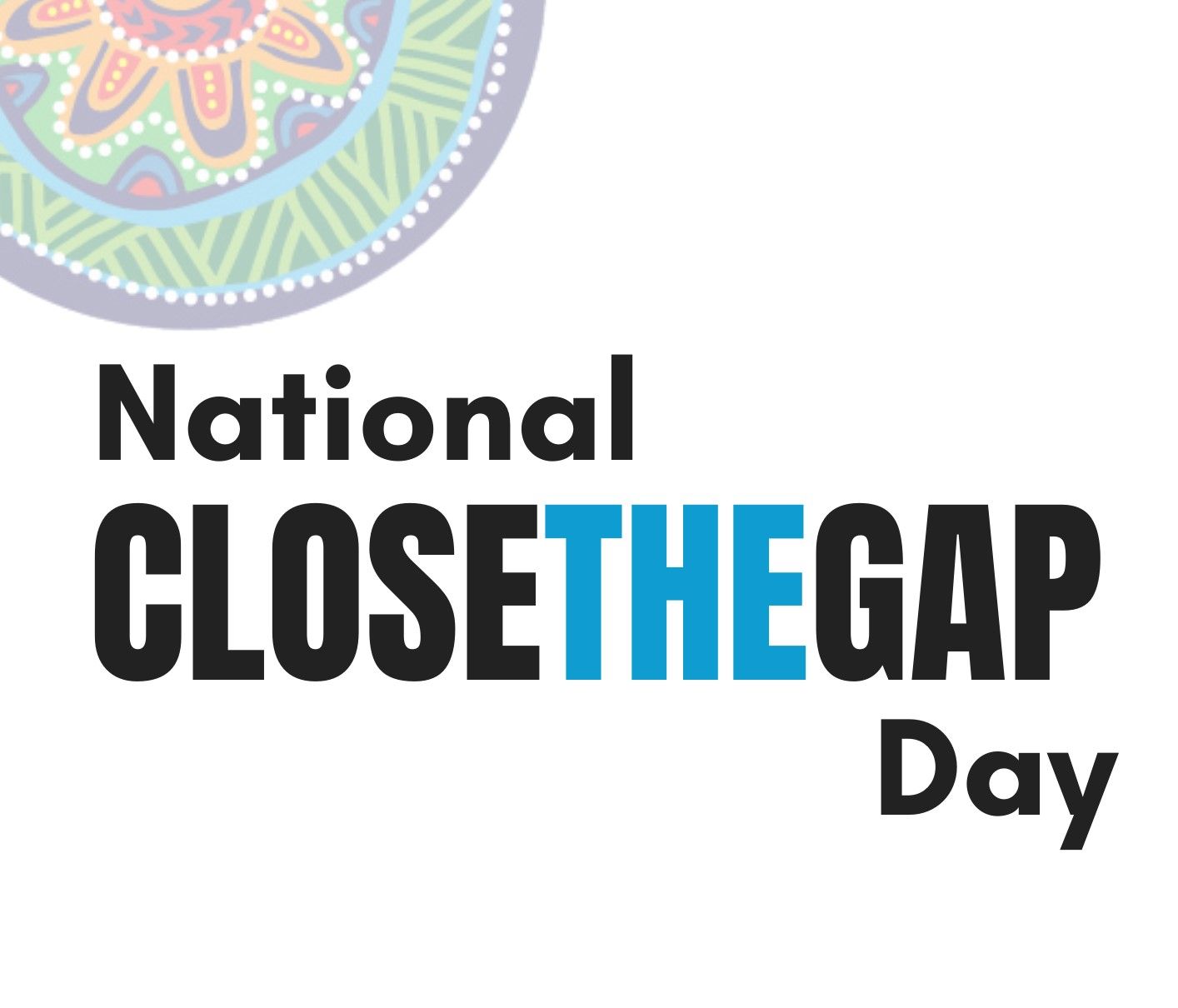
Today is National Close the Gap Day 2024. Closing the gap refers to the meaningful action that is required by governments, organisations, communities and individuals to address inequity experienced by First Nations peoples in Australia
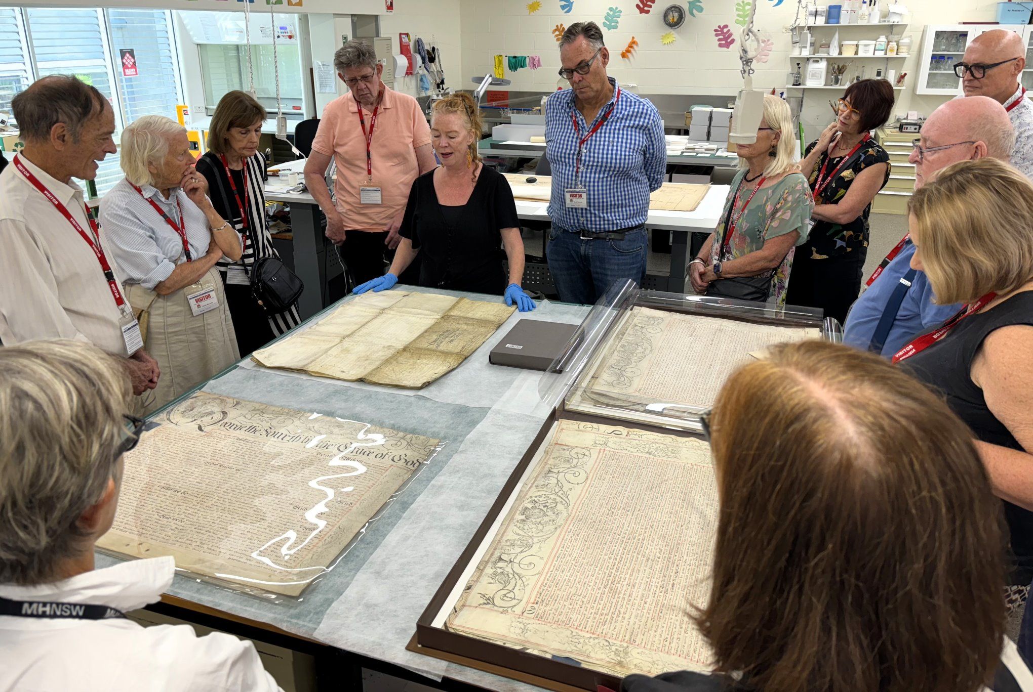
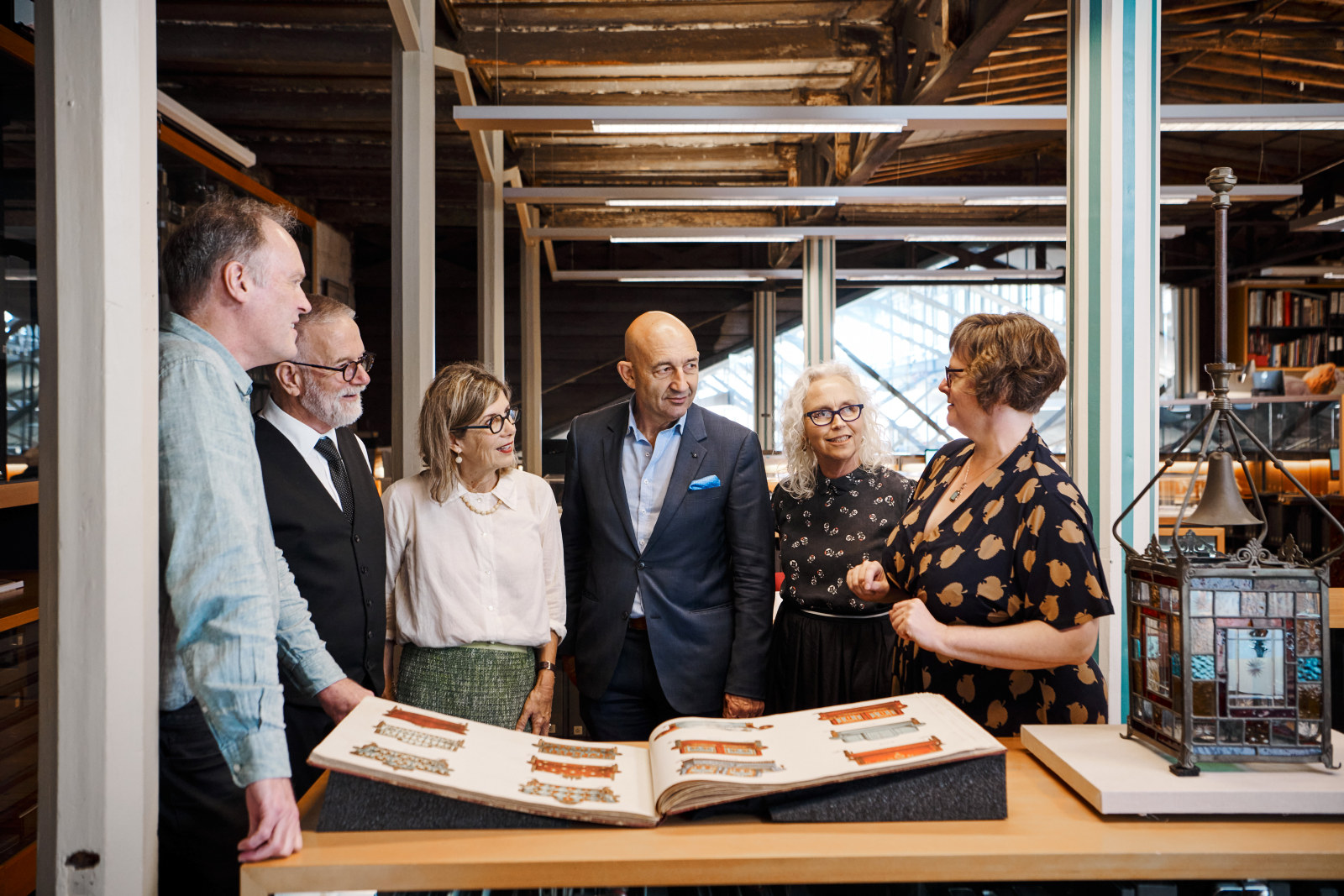
On Thursday 14 March, MHNSW donors enjoyed a fascinating behind-the-scenes tour of the NSW State Archives Collection at the Western Sydney Records Centre
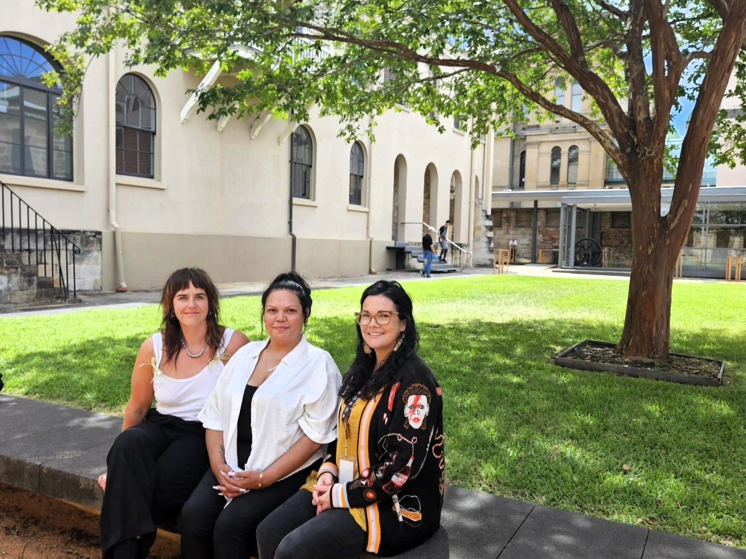
The First Nations Community Access to the Archives team welcomes three First Nations staff to the Collections space
A space and place to celebrate and engage with First Nations cultures, knowledge and perspectives
Welcome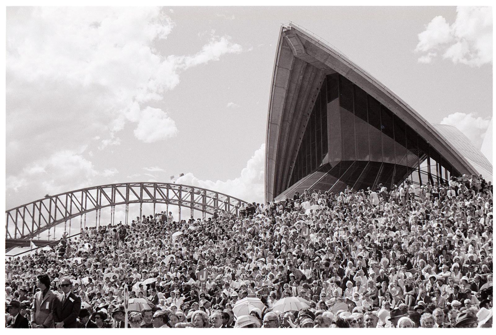
The ‘Sydney Opera House’, the ‘Opera House’, or simply ‘the House’ – we know it by many names. But why is this Australian icon also called ‘the people’s house’? Exhibition curator Dr Scott Hill explores the story behind a name
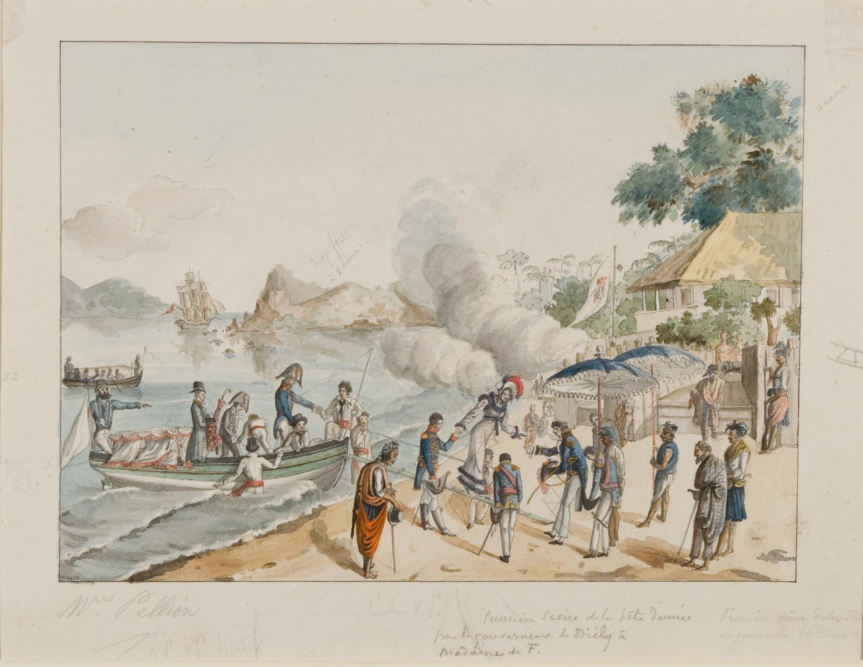
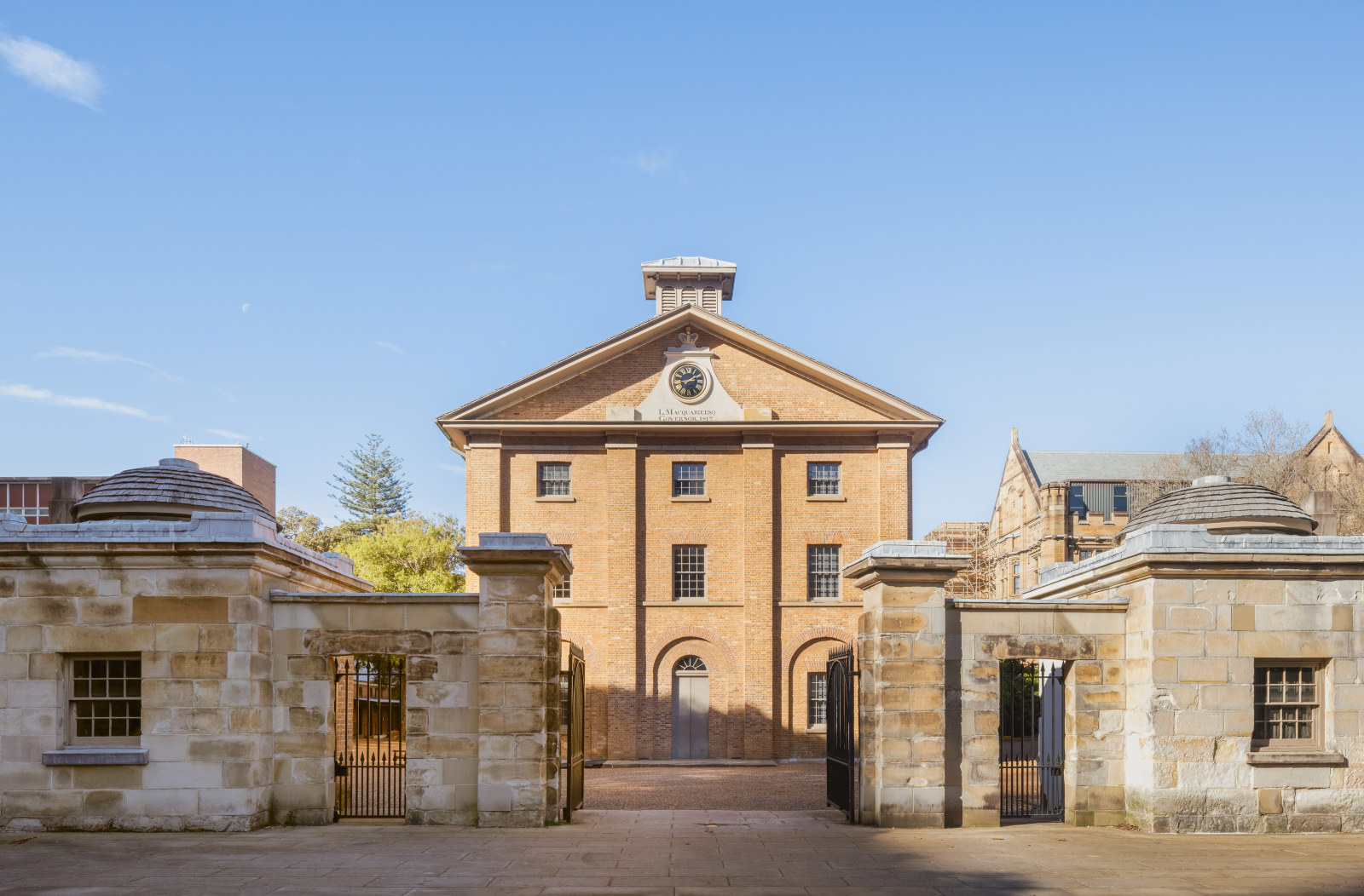
Remarkably, the site of the first Government House remained largely undeveloped for more than 140 years before the Museum of Sydney was built, despite numerous schemes for this valuable piece of CBD land
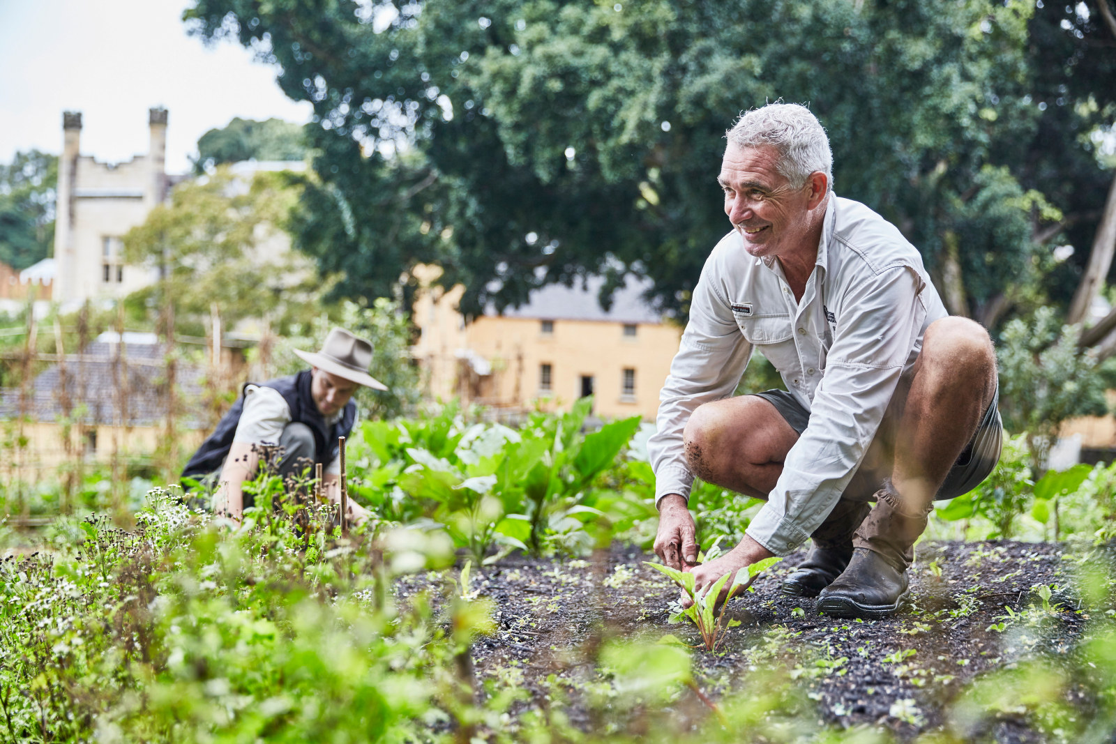
The Vaucluse House kitchen garden recently underwent a significant rejuvenation project to preserve the site and allow it to continue to be used as a valuable educational resource